RunHikeRepeat
  • Home
  • Contact
  • About
  • SHR 2016
    Sierra High Route Food Plan Gear List Daily Reports
post-thumb

Bike ride from Zurich to Pany (Graubünden)

read more
post-thumb

Mount Taranaki (New Zealand, 2'518m)

read more
post-thumb

100km Run - From Zurich to Basel

read more
post-thumb

Trailrunning Säntis (2'502m) - From Hoher Kasten to Schwende

read more
post-thumb

Snowshoeing Mount Marcy (NY, USA) - 5,343 ft (1,629 m)

read more
post-thumb

Mount Whitney (CA, USA) - 14,505ft (4,421m)

read more
post-thumb

DAY 6 - Barret Lake to Parcher’s Resort (Resupply)

Hiking time: 08:08hrElevation gain: 1,040m (3,412ft)Total people met: 10+‘Without question, Dusy Basin is the most verdant

read more
post-thumb

DAY 7 - Willows Campground to Little Petes Meadow

Distance: 24.6km (15.3mi)Hiking time: 10:26hrElevation gain: 1,820m (5,971ft)Total people met: 10+‘One of these [Sierra junipers]… is possibly the single most impressive tree along the High Route _’ - Steve Roper

read more
post-thumb

DAY 8 - Little Petes Meadow to Darwin Bench

Distance: 25.0km (15.5mi)Hiking time: 10:19hrElevation gain: 1,910m (6,266ft)Total people met: 8 (only along JMT)

read more
post-thumb

DAY 9 - Darwin Bench to Puppet Lake

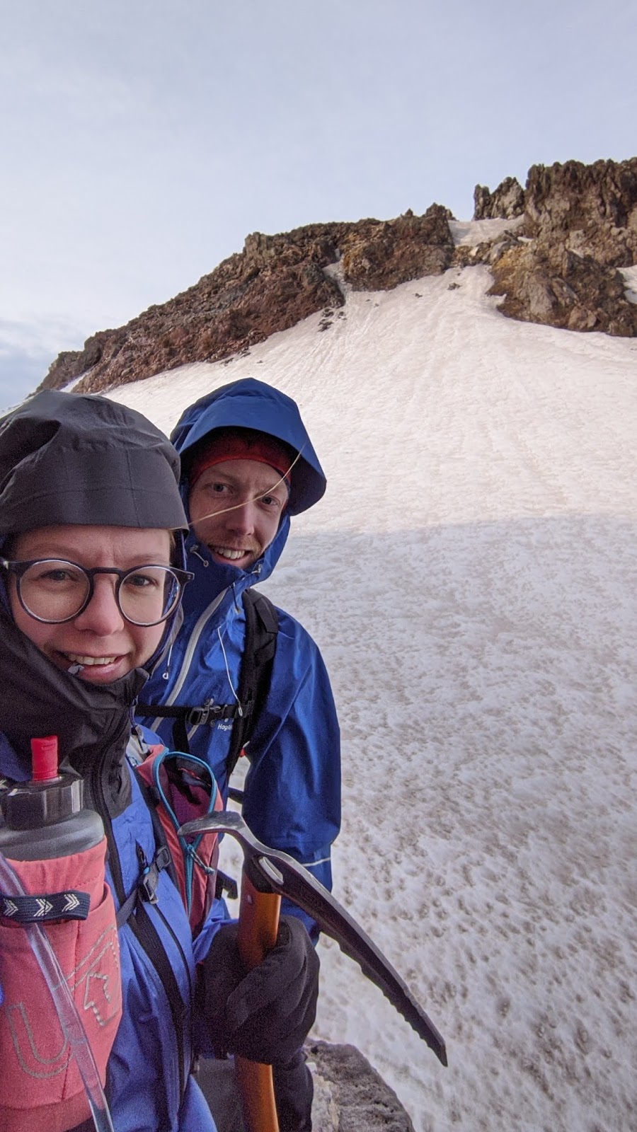
Distance: 17.6km (10.9mi)Hiking time: 12:32hrElevation gain: 1,718m (5,636ft)Total people met: 0‘A fine view opens up to the north.

read more
post-thumb

DAY 10 - Puppet Lake to Lake Italy

Distance: 19.7km (12.2mi)Hiking time: 10:44hrElevation gain: 1,805m (5,921ft)Total people met: 0

read more
post-thumb

DAY 11 - Lake Italy to Laurel Lake

Distance: 21.6km (13.4mi)Hiking time: 10:13hrElevation gain: 1,736m (5,695ft)Total people met: 0‘… gigantic, heart-shaped hole in a steep cliff.

read more
post-thumb

DAY 12 - Laurel Lake to Duck Lake

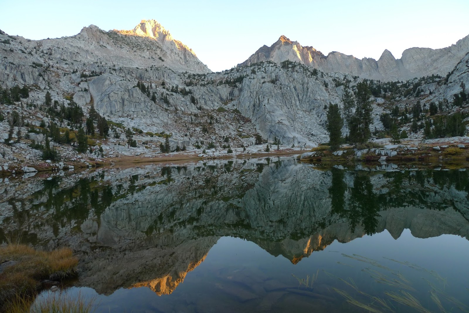
Distance: 24.5km (15.2mi)Hiking time: 10:51hrElevation gain: 2,125m (6,971ft)Total people met: 7 (only on JMT)

read more
post-thumb

DAY 13 - Duck Lake to Red’s Meadow

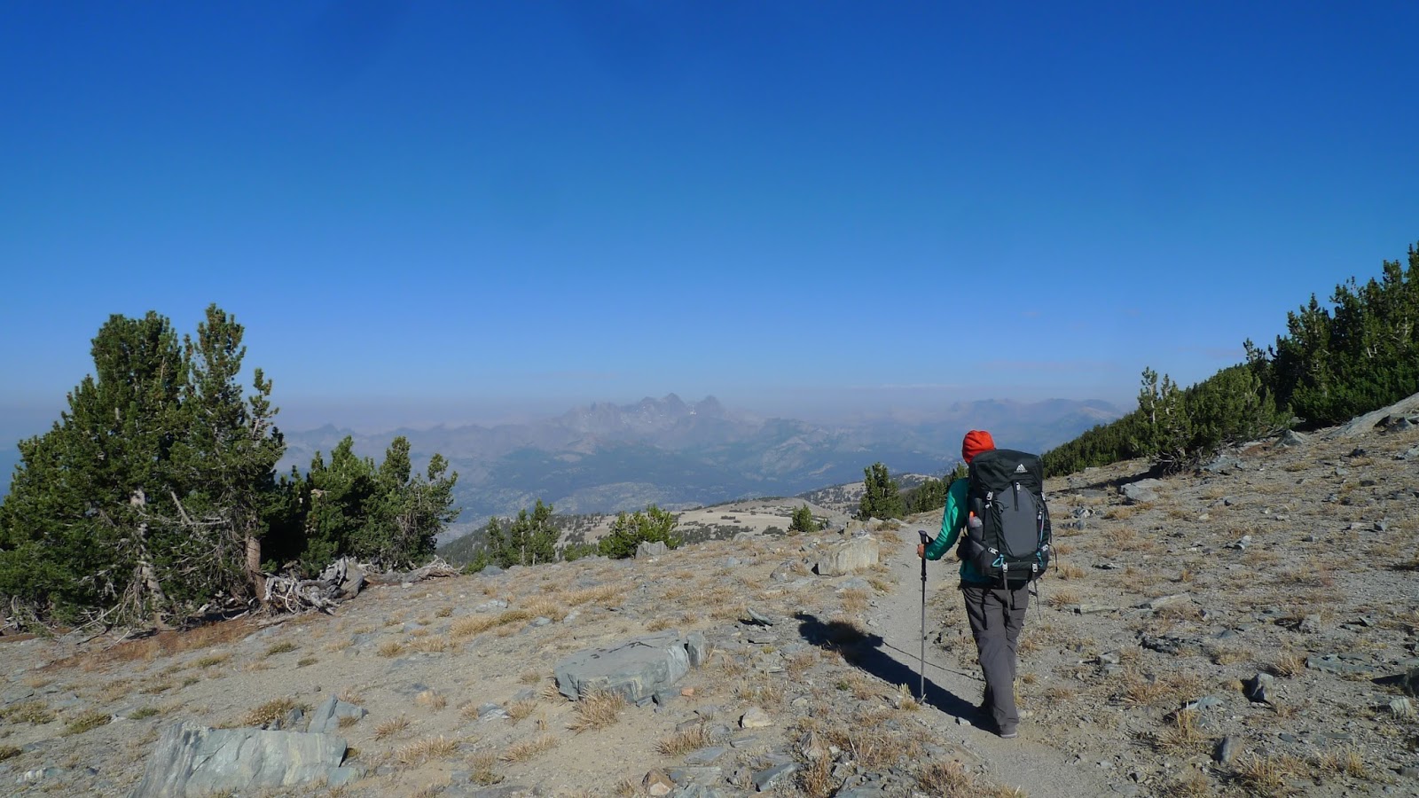
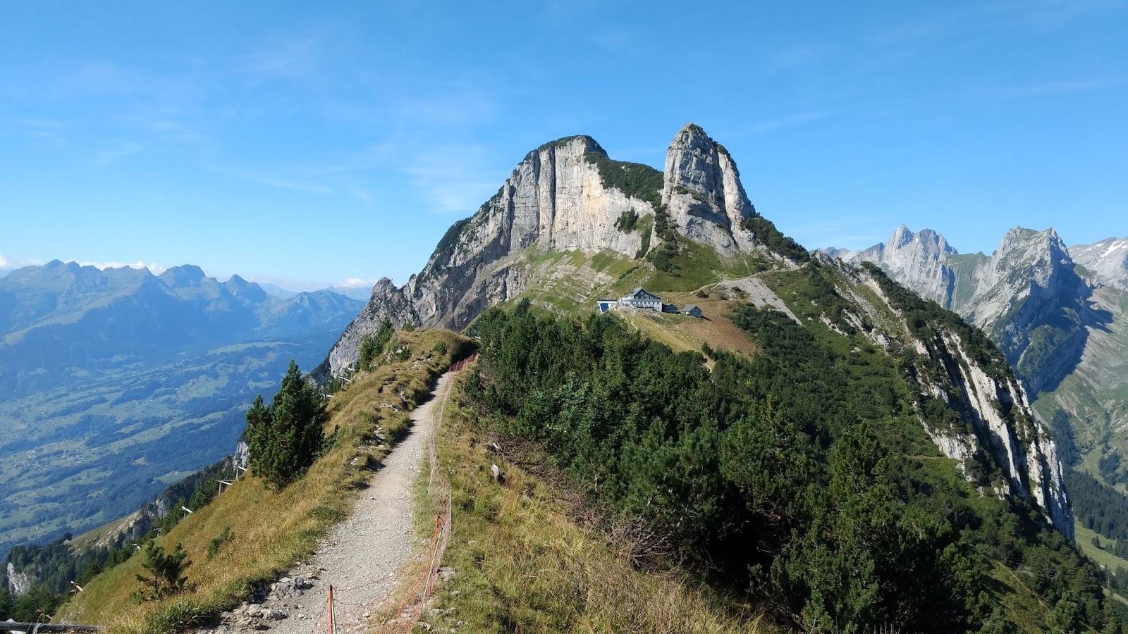
Distance: 17.3km (10.7mi)Hiking time: 06:34hrElevation gain: 878m (2,880ft)Total people met: 4‘The panorama from Mammoth Crest rivals any of the entire High Route.

read more
post-thumb

DAY 14 - Red’s Meadow to LAX

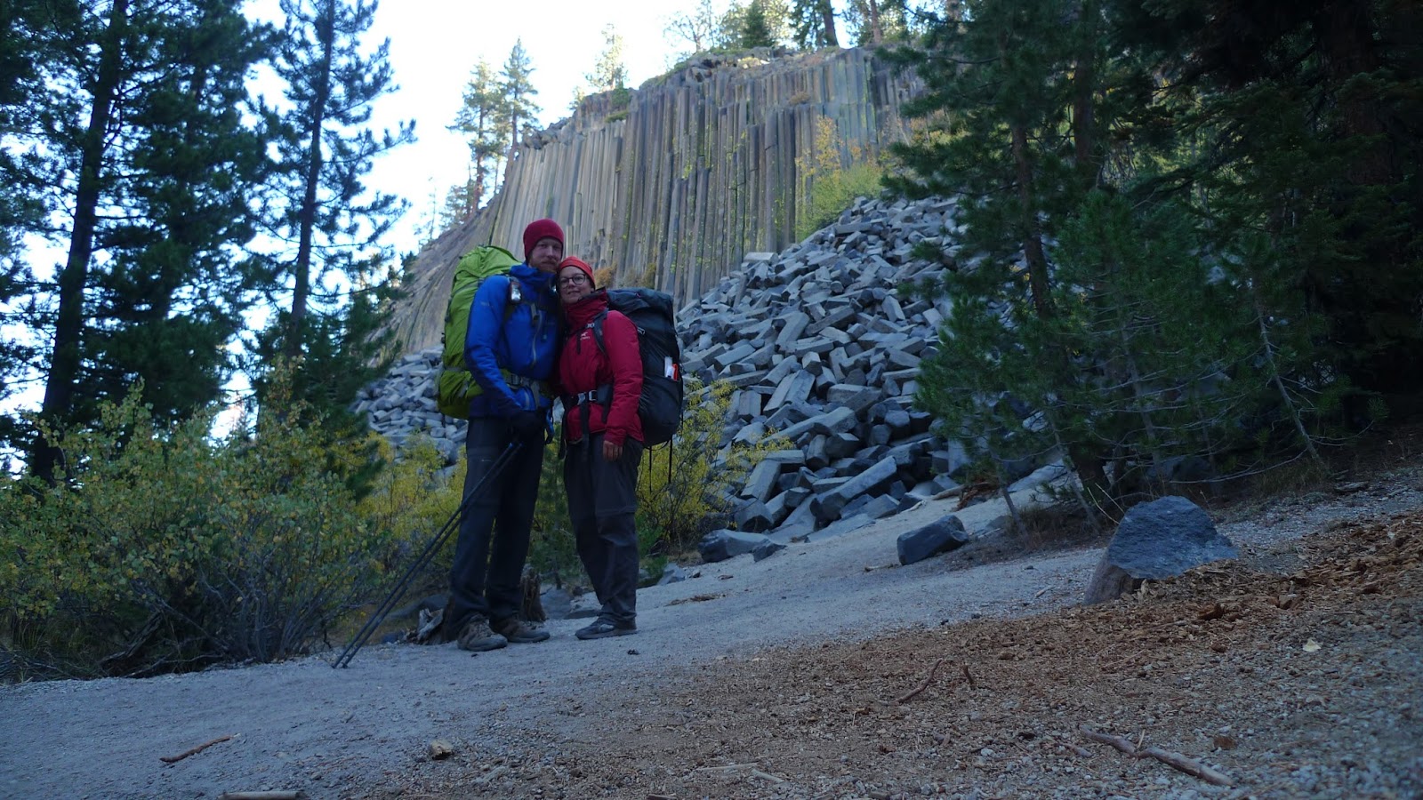
'At 7,600ft, Red's Meadow is the lowest elevation reached by the entire High Route, except for its two end points.

read more
post-thumb

The entire Kepler Track in one day (71,9km)

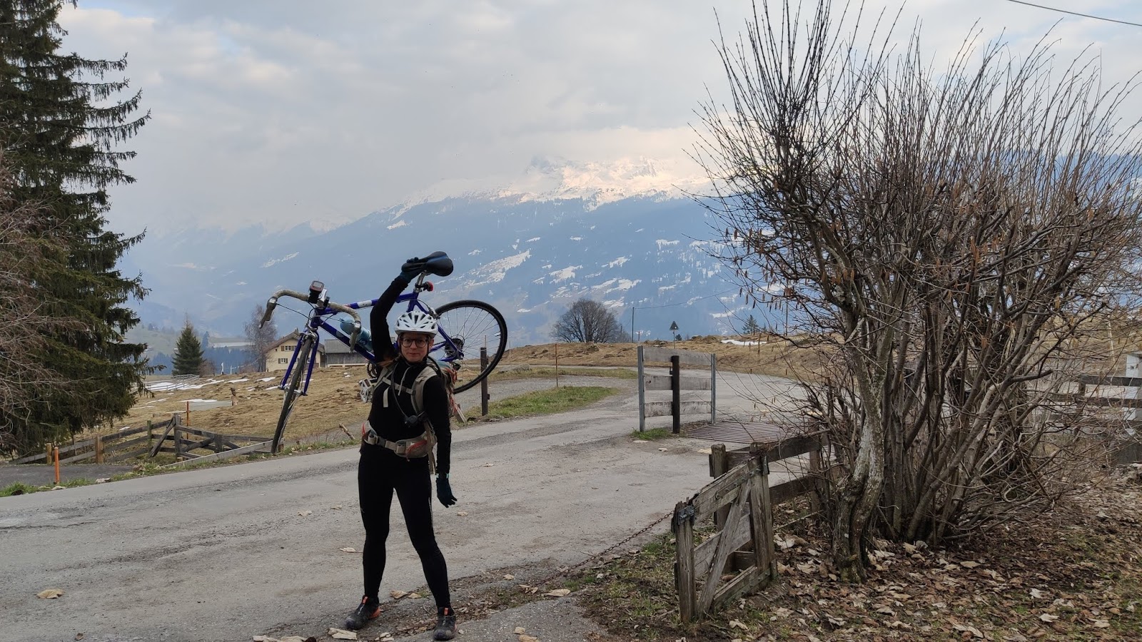
Length: 71.9km Duration: 15:08hr Elevation gain: 2’770m Elevation loss: 2’778m

read more
ABOUT ME

"Lorem ipsum"

Know More
SOCIAL
CATEGORIES
  • Mac lehose trail
  • Sierra high route
TAGS
  • 100km
  • 4000er
  • 46ers
  • Adirondacks
  • Asia
  • Basel
  • Biking
  • California
  • Camping
  • Casanna
  • Cascade
  • Desert
  • Diethelm
  • Fluebrig
  • Graubünden
  • Great walk
  • Grosser mythen
  • Hiking
  • Hochtour
  • Hong kong
  • Joshua tree national park
  • Kepler
  • Lucerne
  • Maclehose
  • Mount marcy
  • Mount taranaki
  • Mount whitney
  • Mountain
  • Mountaineering
  • New york
  • New zealand
  • Newzealand
  • Np
  • Nz
  • Pany
  • Pilatus
  • Porter
  • Rigi
  • Running
  • Rätschenhorn
  • San jacinto mountain
  • Shr
  • Sierra high route
  • Snow
  • Snowshoeing
  • Summer
  • Swiss
  • Switzerland
  • Säntis
  • Tierberg
  • Tierberglihütte
  • Trailrunning
  • Usa
  • Volcano
  • Winter
  • Zenotag
  • Zurich
  • « Previous
  • 1
  • 2
  • 3
  • 4
  • 5
  • Next »
RunHikeRepeat
Address
Contact Info
  • Tel : *41
  • Email :
Follow

Copyright © 2020 a theme by themefisher.com